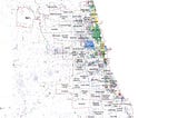
Jingyi ChenChicago04: Distance weighted environmental indexThis experiment needs to analyze the influence of 614 Chicago city parks’ external environment on parks themselves.2 min read·Dec 13, 2020----
Jingyi ChenChicago03: Building height distribution structureExtracte 1 m high-precision building height data of Chicago from. Las radar data.3 min read·Dec 13, 2020----
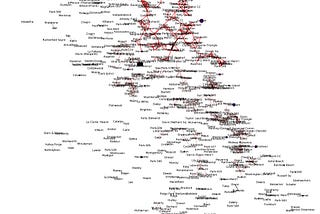
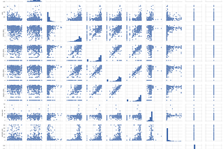
Jingyi ChenChicago02: Network structure analysis_networkxNetwork structure (graph) can help to analyze the relationship between data, especially in the analysis of social network data.2 min read·Dec 13, 2020----
Jingyi ChenChicago01: Analysis of urban spatial structure_Edge_PhysicsThis experiment is expected to involve a lot of content, I select a few parts of the period that I am more interested in to share with you.3 min read·Dec 11, 2020----
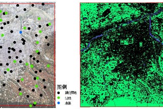
Jingyi ChenCase 7: POI Data CollectionPoint of Interest is widely used in urban planning.2 min read·Dec 11, 2020----
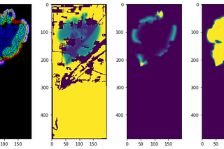
Jingyi ChenCase 6: Urban thermal environment_Green space planning evaluationToday, I am going to continue sharing a land surface temperature prediction model for green space planning evaluation.2 min read·Dec 11, 2020----
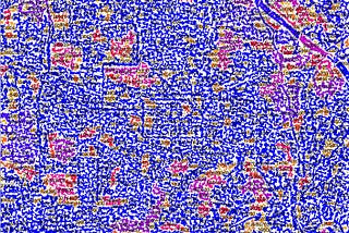
Jingyi ChenCase 5: Urban thermal environment_Based on LST (land surface temperature)In this method, the temperature distribution of the land surface is defined by the method of spatial temperature distribution.3 min read·Dec 10, 2020----
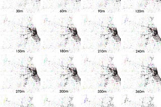
Jingyi ChenCase 4: The spread of forests_SIR model and convolutionSIR model is introduced to analyze the dynamic process.2 min read·Dec 10, 2020----
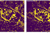
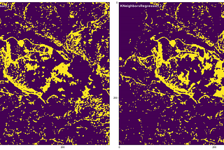
Jingyi ChenCase 3: Construction of ecological corridor in NDVI restoration site based on regression predictionWhether returning farmland to forest or the damaged environment needs to be restored, the original vegetation community will be restored.2 min read·Dec 10, 2020----
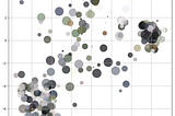
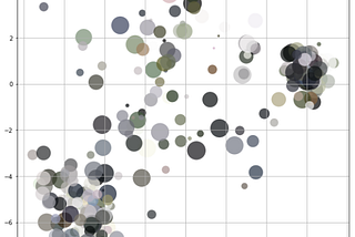
Jingyi ChenCase 2: Machine learning_Clustering_Urban color_ImpressionThe method of clustering is used to extract the theme color of the image, and display it in the form of chart scatter to obtain the…3 min read·Dec 9, 2020----